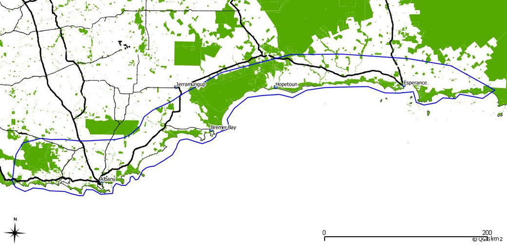
South Coast Sandplain WA – Regional Overview
The South Coast Sandplain is divided two distinct blocks (Figure 1). The western portion extends from west of Albany near Walpole to about 200km east of Albany to the Pallinup river and north for about 50km to the Stirling ranges. The second area is 500km east of Albany. The town of Esperance lies roughly in the centre of the zone with the sand plain extending 150km west and 100km east of Esperance and roughly 50km inland from the coast.

Agricultural systems vary considerably across the sandplain. The portions of the sandplain that receive >550mm rainfall are dominated by beef cattle and in some cases sheep production farming systems. Most of these properties are grass fed systems with a dominance of self replacement herds. There are some properties running predominantly trade stock however they are in the minority. There are some feedlots across the sand plain with most of these handling less then 5000 head.
The remainder of the South Coast Sandplain is dominated by mixed sheep and cattle grazing and cropping. Common crops grown are barley, wheat and canola with smaller areas of field peas and lupins. No till systems are common with increasing adoption of precision cropping technology. Sheep enterprises are often a combination of wool and prime lambs with Merinos and Merino crosses still dominant, though some dedicated meat breeds are growing in popularity.
In the high rainfall areas (>550mm) there are small areas of perennial horticulture (grape vines and olives) and annual horticulture focusing on seed potatoes and vegetable production. Blue gum plantations also take up a significant area in the >600mm rainfall zone but are contracting to some degree.

